What.. a vehicle without a navigation system...!!!!
Thinking back to a time, when a cell phone was just that and touring in countries where my good lady and I could not speak the language, using maps to navigate, getting lost and in the process discovering interesting locations we would never have otherwise found.... Happy memories.. (-: Modern-day efficiency may not be as ideal as it seems on the surface...?
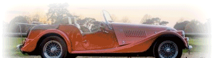
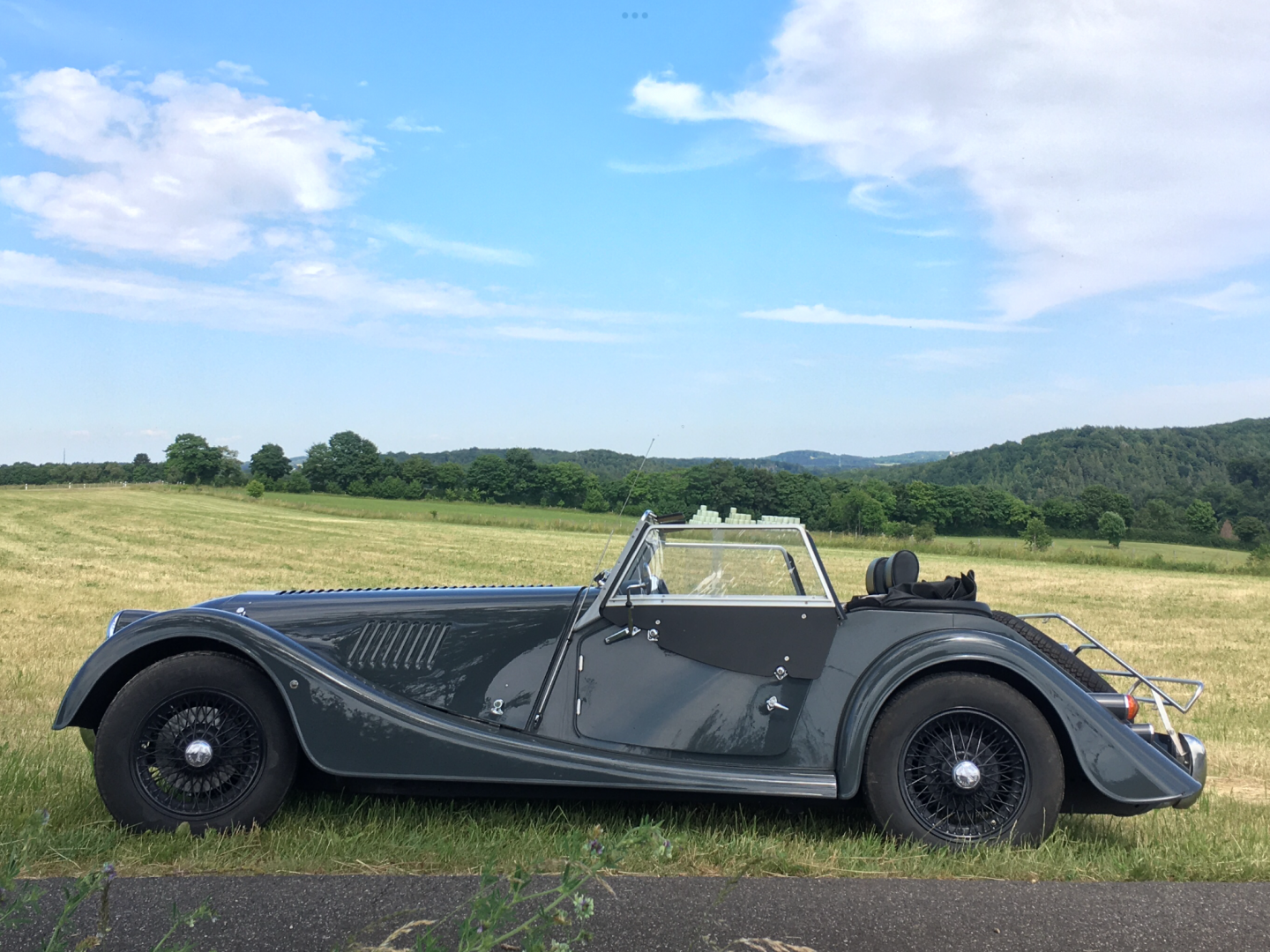
I love looking at maps, especially when touring France in the 4/4. We aim at a possible destination and see what happens. This has resulted in some wonderful adventures, over the years.
If we get really ‘lost’ there is always our trusty Garmin to get us back to the hotel.
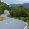
Me and the Mrs do 'Brown sign spotting'. Not a big fan of doing massive miles as I get bored really quickly, so wherever we're going I tend to have a 150 mile max. If it's longer I'll usually stick an overnighter in a city so we can sample new food and drink establishments and have a mooch round. Love a good Cathedral. On the journey, if we spot an interesting Brown sign we'll detour to have a look round. And most EH and NT places have good tearooms for a coffee and a wee. Will often spend all day doing the 150 miles!
Gone are the days we used to get our European maps out and write out the route on a note pad eg change of road/necessary junctions etc. Especially useful on the Harley, Sue would have the notepad and gives directions via the helmet head set.
Prev '12 Plus 4 Sport OZZY '08 Roadster FELIX '06 4/4 70th LOKI '77 4/4 SEAMUS '85 4/4 MOLLY
We still use a map for planning a day - and then programme the exact route we have chosen into the TomTom app on my phone. Always a nice thing to do over that essential cold beer when we get to a hotel.
Paul Costock, UK 2014 4/4 Rolls Royce Garnet Red Disco 5 Teddy - 17h1 Irish Draught cross
What.. a vehicle without a navigation system...!!!!
Thinking back to a time, when a cell phone was just that and touring in countries where my good lady and I could not speak the language, using maps to navigate, getting lost and in the process discovering interesting locations we would never have otherwise found.... Happy memories.. (-: Modern-day efficiency may not be as ideal as it seems on the surface...?
There is a video from Harry Metcalfe where he goes into detail about why he still used paper maps, in particular, Michelin:
(Skip to 3:00 if you want the map part)
However, whilst I've long used their maps, I wasn't aware that Michelin actually denote picturesque driving roads by lining them in green. Furthermore, they also note lovely towns by putting a green square around them. As Harry makes the point, this allows you to plot the most enjoyable driving route far more easily.
Mrs Image and I went by MZ to Istanbul pre-satnav and, due to an oversight (aka stupidity), the only map we had was the one inside the cover of her pocket diary, about the size of a beer-mat ...as our navigation was on a "errmm we need to be in Bulgaria next" basis we did fine 🙂
In 1981 I rode my (not so) trusty CX500 about 3000 miles around Europe with zero road map. I followed (admittedly, blindly at times) road signs and just went where I fancied. Worked out just fine. Bike on the other hand developed a propensity to catch fire, very inconvenient when trying to board a ferry!
When I was a child in the 60s, my father often drove through the Bologna area according to the position of the sun and the points of the compass to get to Imola. The location information on the road signs followed a very Italian logic and after 5 km the signs ended anyway, no matter where you drove.